We use cookies on this site to enhance your user experience
By clicking the Accept button, you agree to us doing so. More info on our cookie policy
We use cookies on this site to enhance your user experience
By clicking the Accept button, you agree to us doing so. More info on our cookie policy
Published: Apr 6, 2024 by
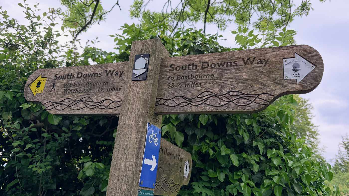
Walking the ridgeway national trail
Read all about my adventures walking the ridgeway in April 2024
Ridgeway day 1 - Overton Hill to Liddington - 15.5 miles
We started the day at Overton Hill, a small car park just off the A4, walking up the gentle hill along the ridgeway. We had walked this first part in the opposite direction the previous day so knew what to expect.
The big difference this time was that we had the wind at our back, rather than in our faces which made the walk a lot more pleasant.
The path started off as a chalk track, but quickly turned to a rutted track, before turning into lots of mud. We saw some people ahead of us doing trail running, disappearing off into the distance, before we caught them up again later after one of them had fallen over in the mud, trying to clean the mud off their clothes and hands as best they could. My brother offered them a clean tissue to try and help. They thanked us and they carried on their way. We took a short drinks break before carrying on with our walk, not seeing them again.
After a few more miles, the muddy track turned into more of a gravel track, making it much easier to walk along. The views were fantastic, looking out towards the countryside and Swindon in the distance.
There were some parts of the walk where we felt like the only people for miles, but then we would suddenly see a few groups of people appearing. We soon realised that when we saw more people then we would be coming up to a car park, the people out for a bit of exercise along the ridgeway.
Soon the path headed gently downhill before heading back uphill with the large and imposing earthworks of Barbury Castle ahead. The ridgeway path heads through the centre of the huge earthworks, rather than around or nearby like other iron age hillforts along the way. Being higher up, the wind got a lot stronger here, not really relenting until the end of the walk, but there was a nice place to stop for lunch just after the castle at Barbury Hill, with a large car park and some picnic benches. There was a toilet block, but they were closed. There was also an ice cream van, but it didn’t seem like the right weather for it.
We stopped and ate our packed lunches, before I checked my feet. They were starting to feel a bit warm in places so I broke out the zinc oxide tape and taped up the affected areas to try and prevent them getting any worse.
After a short walk along a track, we went onto Smeathe’s ridge. Despite the strong wind, this was a lovely section of walk along a grassy ridge, with great views on both sides. The wind was so loud we could barely talk to one another, but I was quite happy just taking in the scenery, enjoying the walk.
Up ahead we could see the village of Ogbourne St George in the valley, and beyond the ridge circling around the village in a horseshoe shape before continuing north towards Liddington Castle. This was one point that made me realise the vast distance that the ridgeway covered. When doing a circular walk you end up back where you started so you never really get that far away. The ridgeway was a very different philosophy.
We walked down to the village and off the ridge, hoping for a refreshment in a village pub. Unfortunately it turned out that the hotel and the village pub were both closed, so we walked under the A346, turned right, then left and found a track back up to the top of the ridge. The track seemed to follow alongside the ridge, but not quite reach it, before eventually relenting and rejoining the ridgeway.
From here there was a mix of farm tracks until we got closer to Liddington Castle, where it turned back to a muddy track. By now I was feeling a bit tired, but the views were lovely and I was excited to go back up hill a bit more to see even better views. The path heads near Liddington Castle, but not to it. My brother said there is not much there other than the earthworks, so we carried on around it.
Sometimes what seems like a short walk on the map can feel like a lot longer in reality. This stretch seemed to go on for a while without getting anywhere, but finally we started heading back downhill towards the road. From here we could see the M4 motorway snaking off into the distance. Our car was parked in a nearby layby where we had left it. We walked back to the car and gave each other a high five after finishing the first day’s walk. Sounds cheesy, but it felt great to get the first day of the ridgeway under our belt.
Share
Latest Posts
Every year a small group of us like to plan a long weekend getaway. In previous years we have visited the Peak District, walked a part of the Cotswold Way and even walked the Ridgeway (that time over a full week). This year we decided we wanted to try doing a bit of thru-hiking, but we weren’t quite ready to carry a tent and all the camping gear too, so thought we would arrange places to stay along the way.

I was looking online for ways of having some kind of route displayed on my Apple Watch as I was walking. The built in workouts app allows you to track a lot of information, such as distance, elevation, heart rate, etc. but it doesn’t show you a map of where you have been, are, or are heading to. I noticed that the OS Maps app has an Apple Watch app, so I thought I would give that a go and see what it does.
We were looking at the National trails website and saw the Cotswold Way wasn’t too far away from Brackley. We decided to walk a section but wanted a way of parking at the end of the section and some way of getting to the start. After looking at our map, we discovered the Gloucestershire Warwickshire Steam Railway (GWSR).