We use cookies on this site to enhance your user experience
By clicking the Accept button, you agree to us doing so. More info on our cookie policy
We use cookies on this site to enhance your user experience
By clicking the Accept button, you agree to us doing so. More info on our cookie policy
Published: Apr 11, 2024 by
Walking the ridgeway national trail
Read all about my adventures walking the ridgeway in April 2024
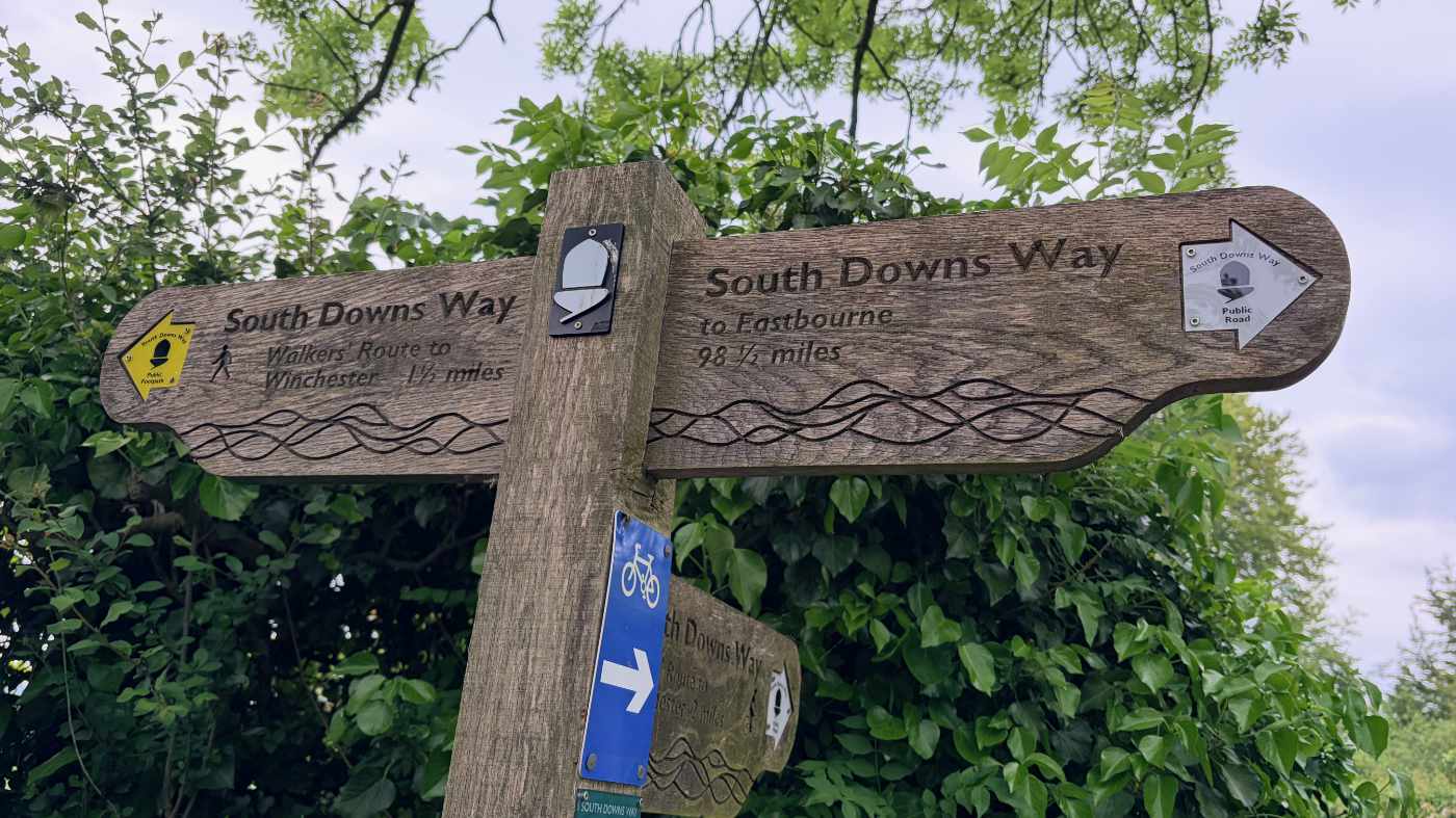
Ridgeway day 6 - Whiteleaf Hill, near Princess Risborough to Hill Farm camp site - 10 miles
Despite the windy conditions I slept very well that night, obviously needing the rest, and woke up feeling much better. My brother-in-law offered me his spare pair of walking shoes. I looked at my own boots and shuddered at the thought of putting them back on again and said yes to the loaned shoes. They were so much more comfortable straight away.
We started from the Whiteleaf Hill car park where we had finished the day before and started walking along the top of the hill. Whiteleaf Hill has a large white cross engraved on the side of it, called the Whiteleaf Cross. I have to admit, I had never heard of this before, but maybe because it’s not an ancient landmark like the Uffington white horse.
We descended back down the hill and towards Chequers. Other parts of the path had been muddy over the last few days, but we had been able to walk around some of it. Here though there were signs saying to keep out of the woods on one side and signs on the other saying that you will be arrested for crossing on the other. Fun. So we had no choice but to dodge what mud we could and jump over as many puddles as possible, whilst also trying not to ruin the walking boots I had been lent.
After Chequers the path went back uphill and into the woods. We found a bench in the woods and stopped for a break and a snack, before continuing uphill and eventually into the open hillside of Coombe Hill. It was fantastic to be back out in the open and to see the views once more. We stopped at the large memorial on Coombe Hill and took in the view and took some photos. The path continued downhill towards Wendover, before taking a slight detour to avoid the HS2 works that were going on there.
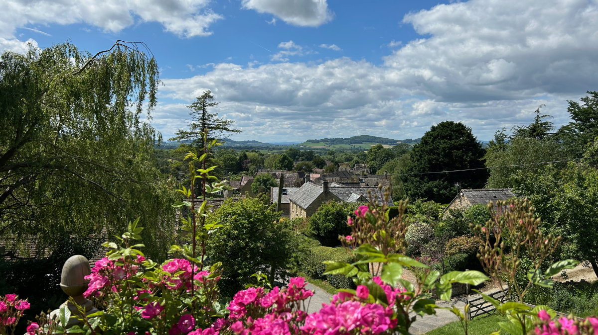
Wendover was a lovely town, with a market on. We stopped at a coffee shop for a coffee and a cake, before continuing the walk through parks and to the outskirts of Wendover, where we walked along a small road, that became a track, that eventually headed into the woods.
We walked through the various woods and then turned left on the road and walked back to the campsite.
Share
Latest Posts
Every year a small group of us like to plan a long weekend getaway. In previous years we have visited the Peak District, walked a part of the Cotswold Way and even walked the Ridgeway (that time over a full week). This year we decided we wanted to try doing a bit of thru-hiking, but we weren’t quite ready to carry a tent and all the camping gear too, so thought we would arrange places to stay along the way.

I was looking online for ways of having some kind of route displayed on my Apple Watch as I was walking. The built in workouts app allows you to track a lot of information, such as distance, elevation, heart rate, etc. but it doesn’t show you a map of where you have been, are, or are heading to. I noticed that the OS Maps app has an Apple Watch app, so I thought I would give that a go and see what it does.
We were looking at the National trails website and saw the Cotswold Way wasn’t too far away from Brackley. We decided to walk a section but wanted a way of parking at the end of the section and some way of getting to the start. After looking at our map, we discovered the Gloucestershire Warwickshire Steam Railway (GWSR).