We use cookies on this site to enhance your user experience
By clicking the Accept button, you agree to us doing so. More info on our cookie policy
We use cookies on this site to enhance your user experience
By clicking the Accept button, you agree to us doing so. More info on our cookie policy
Published: Apr 8, 2024 by
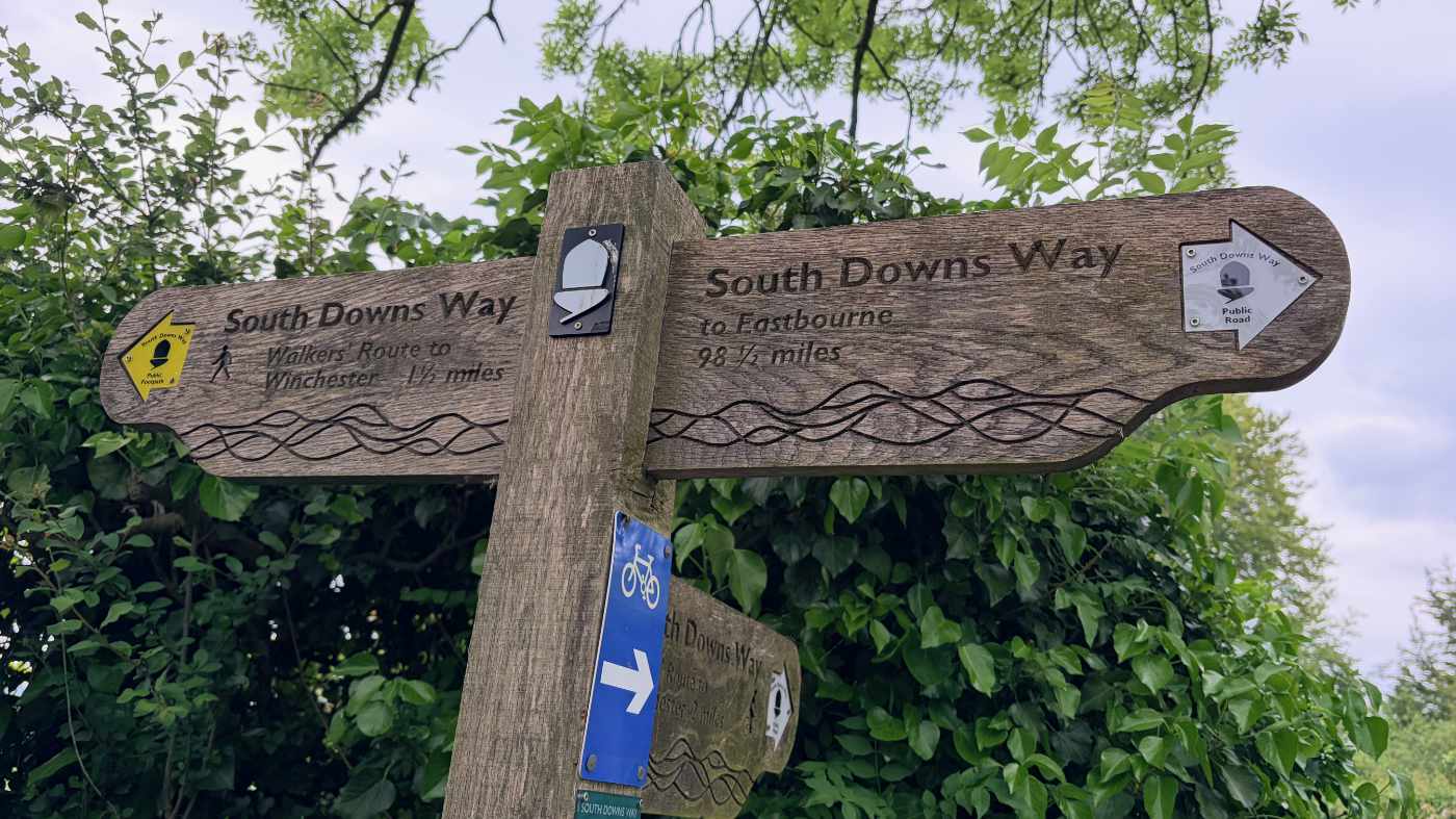
Walking the ridgeway national trail
Read all about my adventures walking the ridgeway in April 2024
Ridgeway day 3 - Court Hill Centre, near Wantage to near Streatley - 12 miles
The wind had died down and the sun came out a bit. We started walking from the small car park near Court Hill Centre and headed along a farm track, before it turned to a wide grassy track. It was nice going, passing the Baron Wantage monument, with views of Wantage and then Scutchcambe Knob, an iron age round barrow.
After this, there was a long grass section which seemed to go on for a long time, before the noise from the A34 started. We took the path under the A34 and were surprised by the murals painted on the inside of the tunnel.
We passed more horse gallops before the path became more of a track. We could tell we were now changing from wilderness to more rural areas as we took the first sharp 90 degree turn to avoid farm fields, rather than gentle turns we had gotten used to.
We followed the track, stopping to take in what was once a field that now looked more like a lake. There was a sign for a footpath that went straight through the flooded field, but luckily the ridgeway carried on past it. The track was very chalky and quite rutted in places, glad that the sun was out as it could have gotten quite slippery in the wet.
We stopped for some food, sitting on a bank with a gap in the trees overlooking the countryside. I checked my feet and my right foot was fine, but my left foot had a couple of blisters appearing. One under my big left toe and a sore appearing on the top of the left toe. I put blister plasters on and wrapped some more zinc oxide tape over the top to secure them.
We had covered a fair distance and realised we didn’t have much more to go back to our car. We walked in good spirits back up the hill, before the path carried on downhill towards Streatley, taking in the views of Streatley Warren, a steep sided valley. As we got back into our car, we noticed that there was a road closure here the next day. This meant we needed to change our plans and find somewhere else to park and start our walk.
Share
Latest Posts
Every year a small group of us like to plan a long weekend getaway. In previous years we have visited the Peak District, walked a part of the Cotswold Way and even walked the Ridgeway (that time over a full week). This year we decided we wanted to try doing a bit of thru-hiking, but we weren’t quite ready to carry a tent and all the camping gear too, so thought we would arrange places to stay along the way.

I was looking online for ways of having some kind of route displayed on my Apple Watch as I was walking. The built in workouts app allows you to track a lot of information, such as distance, elevation, heart rate, etc. but it doesn’t show you a map of where you have been, are, or are heading to. I noticed that the OS Maps app has an Apple Watch app, so I thought I would give that a go and see what it does.
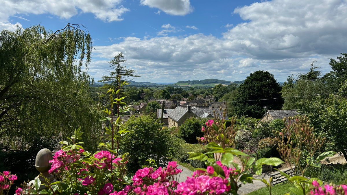
We were looking at the National trails website and saw the Cotswold Way wasn’t too far away from Brackley. We decided to walk a section but wanted a way of parking at the end of the section and some way of getting to the start. After looking at our map, we discovered the Gloucestershire Warwickshire Steam Railway (GWSR).