We use cookies on this site to enhance your user experience
By clicking the Accept button, you agree to us doing so. More info on our cookie policy
We use cookies on this site to enhance your user experience
By clicking the Accept button, you agree to us doing so. More info on our cookie policy
Welcome to the blog. Here are a few stories from my adventures around Brackley and from further afield.
Watlington was quite a charming little village the first time we drove through it, but after driving back and forth doing the car shuffle we realised it would probably be better if there was a bypass of some sort. The streets were very narrow and couldn’t really cope with the large 4x4’s driving through it.
We had set up camp in Crowmarsh Gifford the night before and walked into Wallingford to explore. As we crossed over the river Thames, we saw it was in flood, flowing quite fast. A barge had got stuck on the bank when the river was higher and was half in the water and half on the river bank. On the other side, the riverside footpath looked very wet.
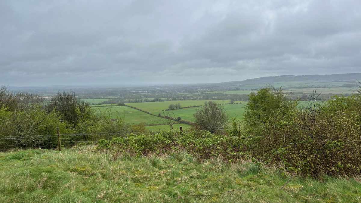
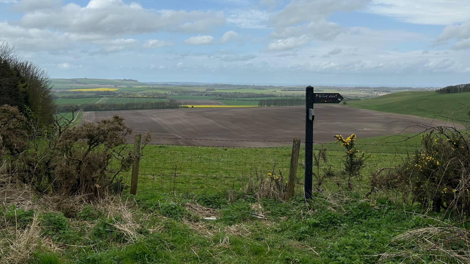
The wind had died down and the sun came out a bit. We started walking from the small car park near Court Hill Centre and headed along a farm track, before it turned to a wide grassy track. It was nice going, passing the Baron Wantage monument, with views of Wantage and then Scutchcambe Knob, an iron age round barrow.
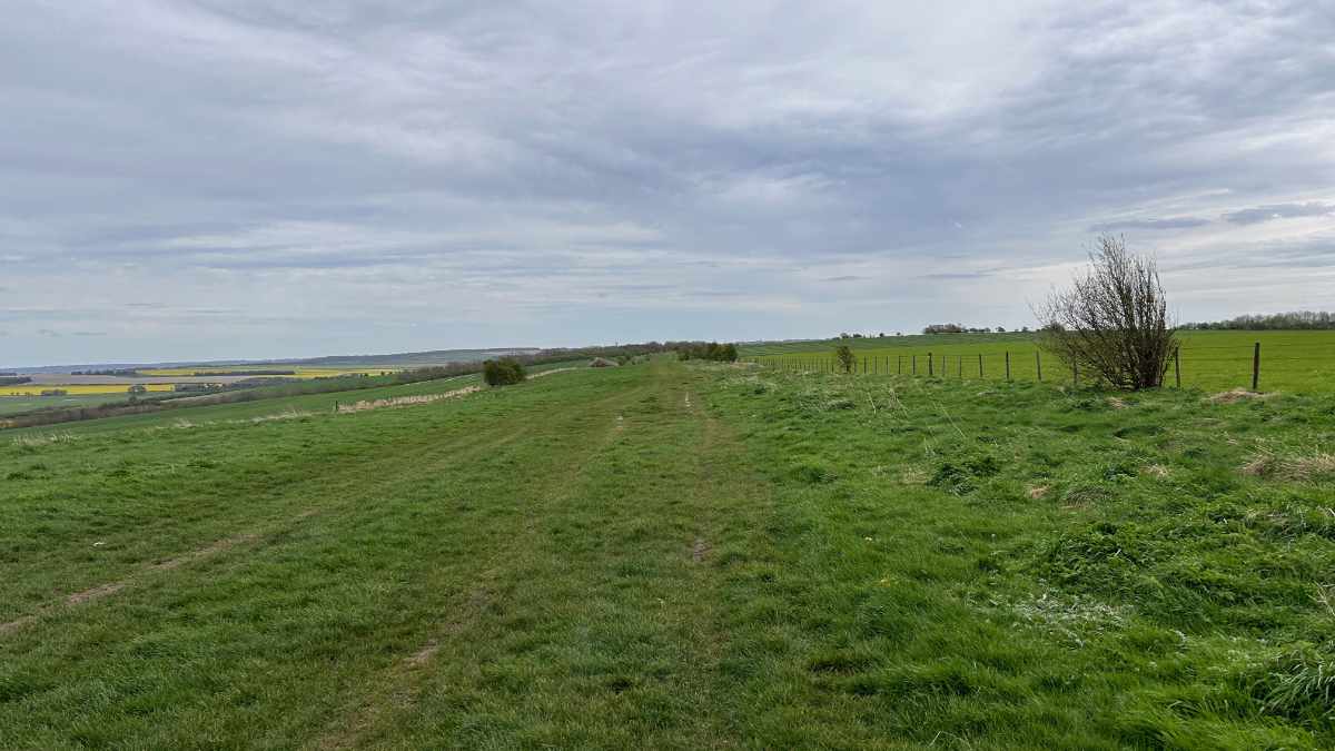
We were driving towards the layby where we parked the day before, but noticed that this section of the ridgeway was all road. As exciting as the prospect of walking a bridge crossing the M4 was, we decided to turn around and park the car at Foxhill and start from there instead.
We started the day at Overton Hill, a small car park just off the A4, walking up the gentle hill along the ridgeway. We had walked this first part in the opposite direction the previous day so knew what to expect.
Latest Posts
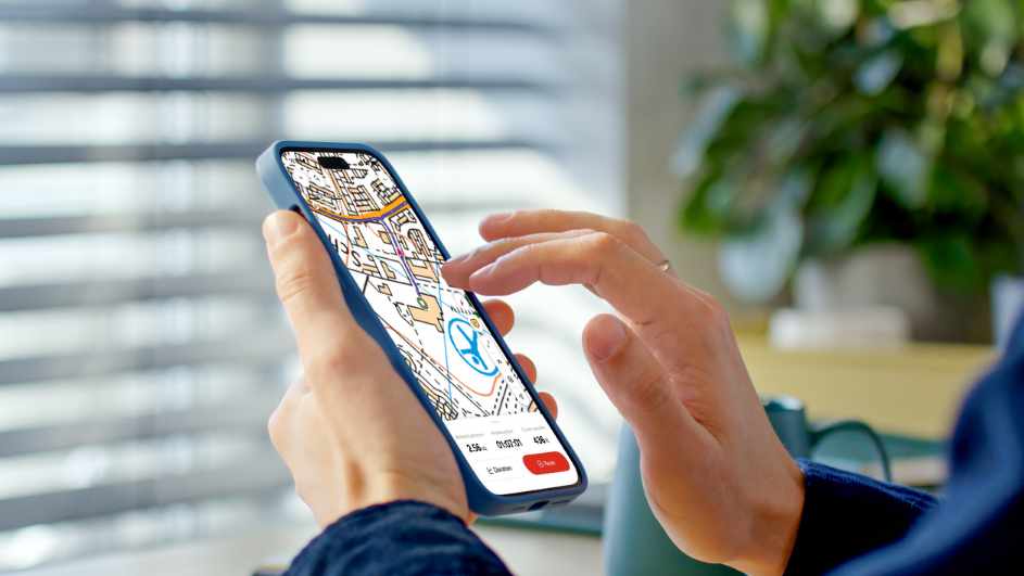
I was looking online for ways of having some kind of route displayed on my Apple Watch as I was walking. The built in workouts app allows you to track a lot of information, such as distance, elevation, heart rate, etc. but it doesn’t show you a map of where you have been, are, or are heading to. I noticed that the OS Maps app has an Apple Watch app, so I thought I would give that a go and see what it does.
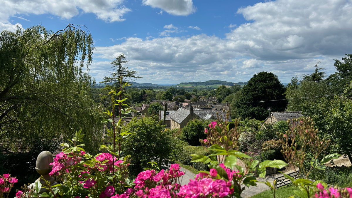
We were looking at the National trails website and saw the Cotswold Way wasn’t too far away from Brackley. We decided to walk a section but wanted a way of parking at the end of the section and some way of getting to the start. After looking at our map, we discovered the Gloucestershire Warwickshire Steam Railway (GWSR).

I have done a few long walks, but I would still call myself a novice when it comes to hiking. I’m still learning about different equipment and what works for me, but I want to share what I have learned so far about walking boots to try and help other beginners who are getting into walking and hiking.